The Cap de Creus is an extension of the Pyrenees to the sea, creating a peninsula of about 150 km2. This is the most eastern zone of the Iberian Peninsula, a point of orientation the first order in the charts and, since 1988, a protected natural park by the government.

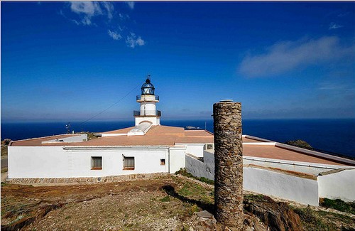
Cap de Creus Lighthouse
The Cap de Creus Park is very large and includes villages as Cadaqués, Vilajuïga, Palau-saverdera, El Port de la Selva, Llançà, Pau, Roses and la Selva de Mar.

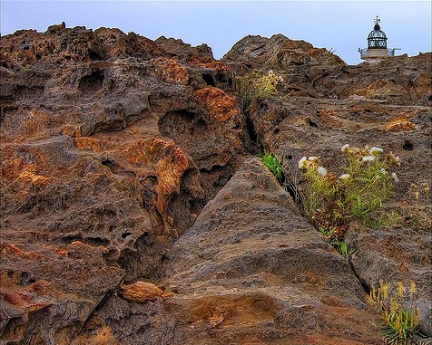
Typical rocky raw landscape in Cap de Creus
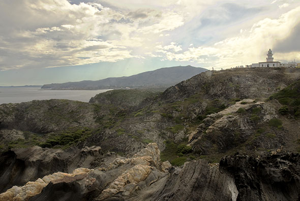
The landscapes of Cap de Creus are hard to forget. Much of the year the cape is hit by winds from the north (the Tramuntana one), and the environmental contamination is negligible due to low human occupation. The erosion caused by the wind and sea salt have created a landscape of rounded rocks that form this particular physiognomy.
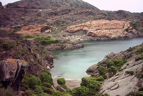
The rocky coast, composed mainly of shale, is spread throughout the place, forming small bays and coves, some very small, only accessible by sea. In the imagination of the people some of the rocks that make up this coast are associated with animal forms, like the eagle of Tudela, Cap Gros lion or the rock of the Cullera island, which probably inspired Dalí in the conception of its great work, The Great Masturbator.

All the Cap de Creus is full of magnificient bays
The waters are crystal blue, and his underwater contains a nice collection of animal species, 300. Stresses including Babau turtle or leatherback turtle, of large dimensions.

Cap de Creus Lighthouse, located just in the middle of the rocky landscape
The park, in turn, has an interesting architectural heritage, composed mainly of the Monastery of Sant Pere de Rodes and archaeological sites. Special mention should be the lighthouse of Cap de Creus: on the first time in 1853, had a range of 15 miles. Even today retains its functionality, and the esplanade in which is situated is an excellent vantage point where many visitors end their tour of the Natural Park watching the cliffs on which it is situated and in the north, the French coast.


